Bangor, Maine — Land Surveying & Civil Engineering
Find true north before you build, divide, or defend.
Boundary surveys, ALTA/NSPS surveys, topographic mapping, subdivision platting and drone aerial mapping — for landowners, builders and attorneys across the Bangor area.
Five lines of work. Each one starts with the same question: where, exactly, is the line? Pick the one that matches your project and we will tell you what it takes.
000° N
Boundary surveys
The corners, the lines, and the evidence that holds them. We recover existing monuments, weigh the written record against what is on the ground, and mark what we find.
Corners located and set
Lines flagged on the ground
Plat and monument record
Five services One coordinate system
072° E
ALTA/NSPS surveys
The survey lenders, title companies and out-of-state buyers ask for. We order the table items you need and show the encumbrances that matter at closing.
Table A items as ordered
Easements and encumbrances shown
Improvements located and noted
144° SE
Topographic mapping
Ground elevations and site features, drawn at the scale your designer already works in — so the site plan starts from real numbers.
Spot elevations and contours
Walls, trees, utilities, structures
Digital drawing files
216° SW
Subdivision platting
Dividing one parcel into buildable lots, with the frontage, access and lot lines worked out on paper before anything is recorded.
Concept layout and lot lines
Plat for municipal review
New corners monumented
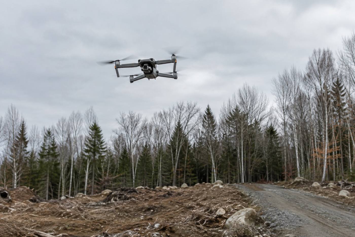
Aerial mapping over a parcel with heavy tree cover
288° NW
Drone aerial mapping
When a site is too big, too wet or too grown-over to walk efficiently, a flight gives you the whole parcel at once — and ties it back to the boundary.
Orthomosaic and surface model
Contours and site features
Stockpile and volume figures
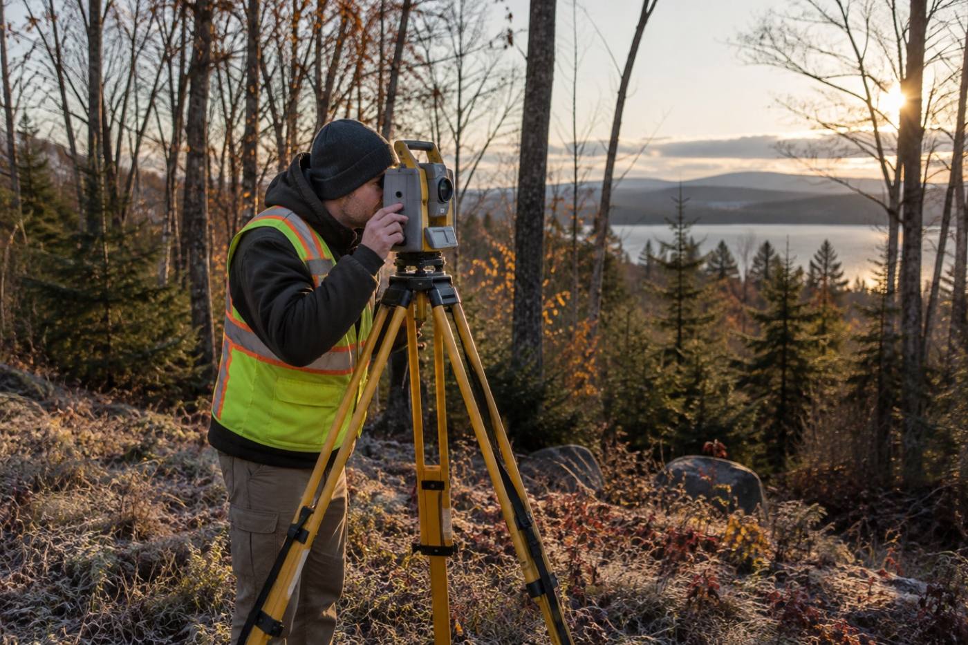
Field work along a wooded boundary line
02 — Fieldwork
From first stake to recorded plat.
Every project runs the same way: understand the record, control the measurement, then hand you a drawing you can build on, divide by, or file.
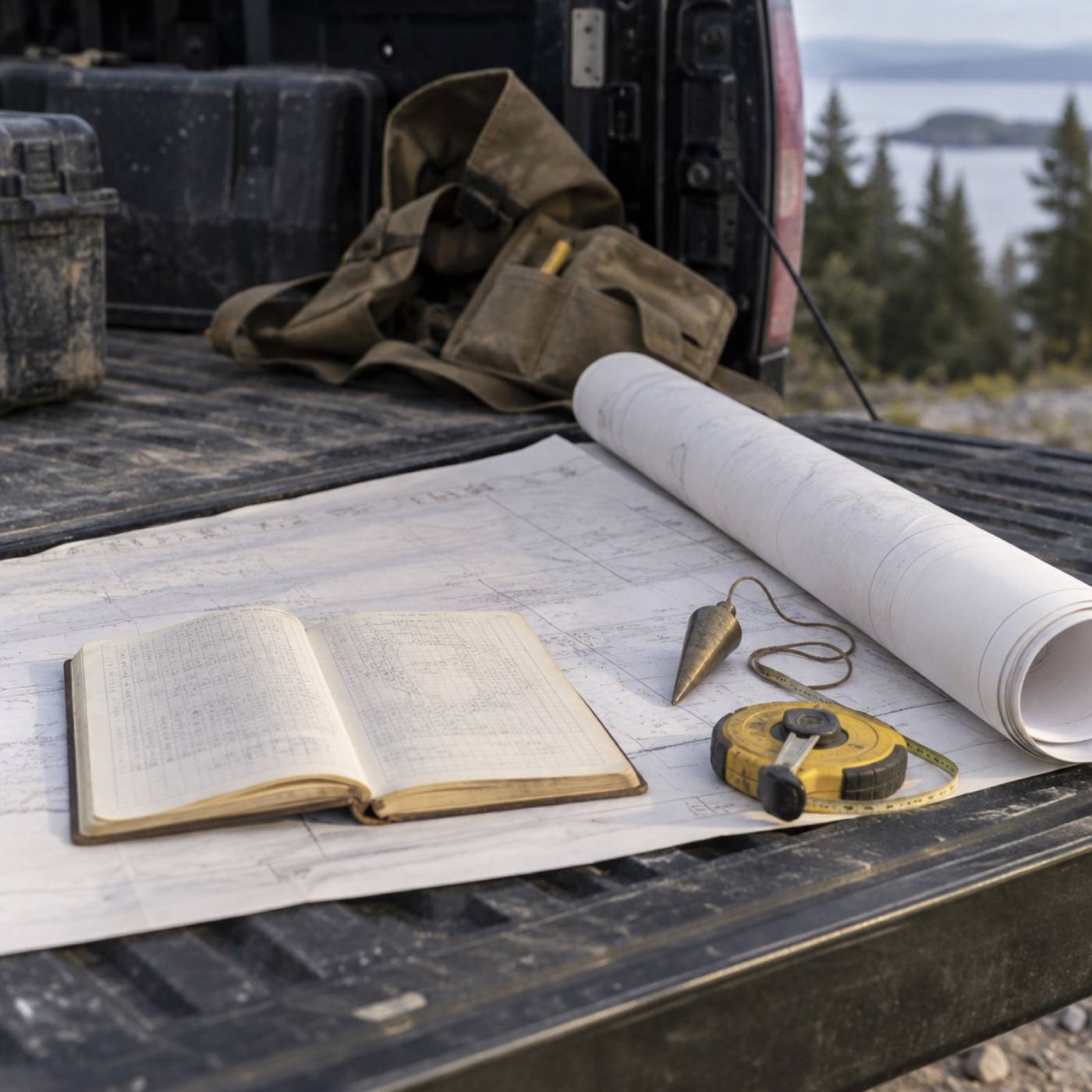
Field notes and a working plat, marked up in the truck.
01
Reconnaissance
We walk the parcel, recover the monuments that are still there and check the deeds against the ground before any measurement begins.
02
Control
We set control and tie into known reference points, so every measurement in the project shares one coordinate system.
03
Measurement
Boundary, topographic or aerial data is collected in the field — total station, GNSS or drone, whichever the terrain and the deliverable call for.
04
Plat & deliverable
You receive the plat, map or drawing set, with the notes and coordinates your builder, lender or attorney needs to move forward.
03 — Intake
Tell us about the parcel.
Give us the location and what you are trying to do. A deed, a plan or a parcel ID helps — if you do not have one, we will start from the ground.
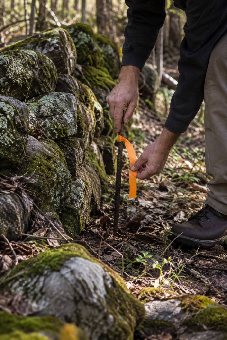
Setting a corner at the edge of a stone wall
04 — Who we work with
Built for landowners, builders and attorneys.
The same fieldwork serves three very different jobs. Here is what each one asks us for.
01 — Landowners
Landowners
You are buying, selling, or splitting family land. We find the corners, flag the lines, and hand you a plat that a lender, a title company or a neighbor can read.
Line disagreements
Estate and family divisions
Land you are about to buy
02 — Builders
Builders
You need reliable elevations before the excavator shows up. Topographic mapping and drone flights put the grades, the setbacks and the site features on paper first.
Site plans and grades
Setbacks and lot lines
Clearing and earthwork
03 — Attorneys
Attorneys
You need field evidence that holds up. Monument records, field notes and plats, prepared with the record research behind them and ready for the file.
Boundary disputes
Easements and rights-of-way
Title and quiet title files
Next step
Get a written scope and a quote.
Tell us about the parcel and what you are trying to do with it. Quoting starts with a conversation and a look at whatever you already have.