15–40
ft AGL
Roof & facade inspections
Close passes over shingles, parapets, flashing, vents and cladding — the detail a ladder-and-binoculars check misses, imaged with nobody leaving the ground.
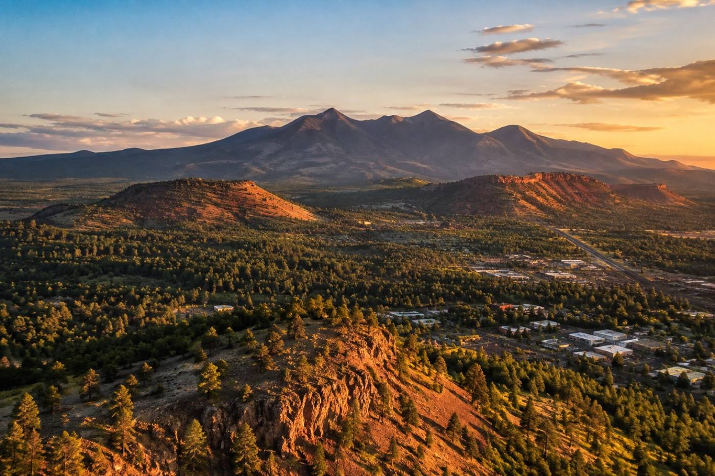
One aircraft over your whole property — roof and facade inspections, thermal passes, construction progress, stockpile volumes, and full site maps stitched from the air.
Flight work
Six surveys, flown on their own or stacked into a single visit. Every one ends in something you can use — a map, a model, a set of measurements, or a thermal frame.
Overlapping flight lines stitched into one accurate, measurable view of the whole property.
Close passes over shingles, parapets, flashing and cladding — read without a ladder or a rope.
Repeat passes from the same lines, so each stage of the build lines up with the last.
Fly the pile and take the number — volume and area measured from the aerial surface.
An infrared pass over roofs and walls, showing heat loss, moisture and hot spots.
Site imagery processed into a model your team can orbit, measure and share.
Flight bands
The height we fly decides what the camera can measure. Four bands cover a roofline, a building envelope, a full site grid — and the repeat passes that track them over time.
Every band sits inside the FAA's 400 ft AGL ceiling for small drones.
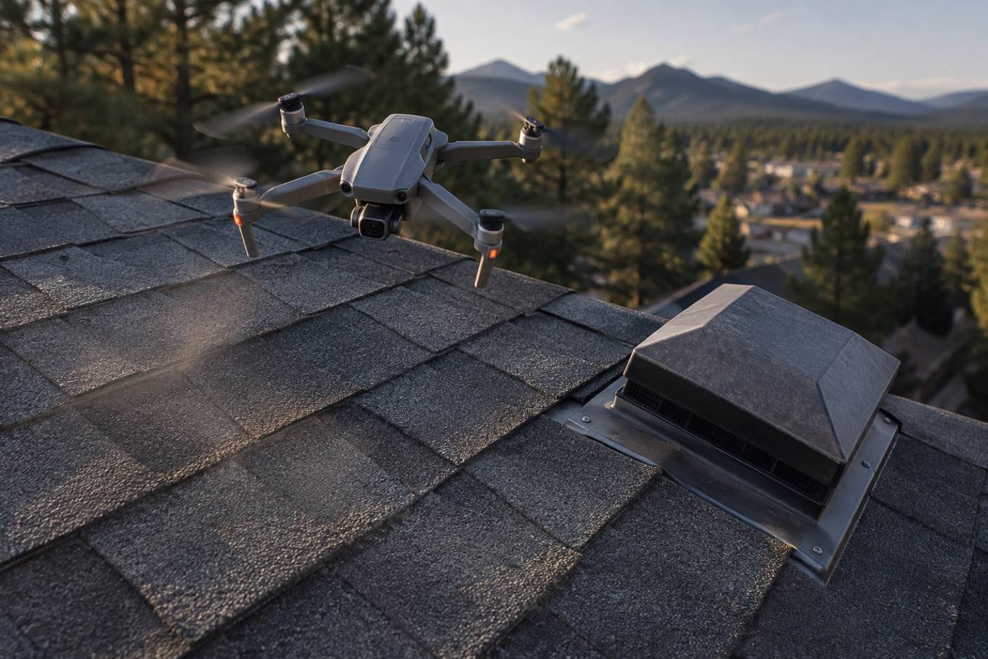
Close passes over shingles, parapets, flashing, vents and cladding — the detail a ladder-and-binoculars check misses, imaged with nobody leaving the ground.
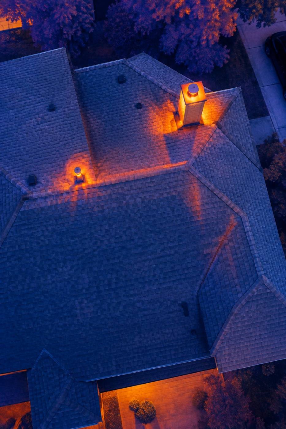
An infrared sweep of the whole envelope, showing heat loss, moisture and hot spots across rooflines and walls.
Overlapping flight lines stitched into one accurate, measurable image of the site — plus a model your team can orbit, measure and hand on.
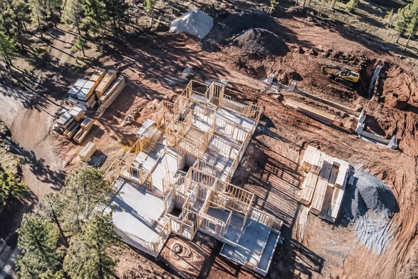
Flown from the same lines each visit, so progress lines up frame to frame and gravel, mulch and spoil piles are measured from the aerial surface.
Process
A short scope call decides the bands and sensors. The rest is planned around your site and the weather, and ends with data your team can open and use.
Tell us the site and the question behind it — a suspect roof, a moving construction schedule, a pile that needs measuring. That decides the bands and sensors.
We review the site on a map, settle the launch points and altitude bands, and agree a weather window that works for you.
We fly the site at the heights the job needs — overlapping stills, thermal frames and video, captured in one organized visit.
Imagery becomes a map, a model or a set of measurements, checked over and sent to you with the views your team asked for.
Not sure which survey you need? Describe the property and we'll tell you which flight bands it takes to answer the question.
Start with a site surveyBook the flight
Tell us where the site is and what you need to see. We'll come back with the flight bands, the weather window and exactly what you'll have in hand afterwards.