Stop 01
Working ranch sales
Grazing country, working pens and the water that carries it. We map the pasture, the improvements and the access points before the tract ever goes to market.
Request tract detailsAmarillo, Texas · Land & ranch brokerage
Working ranch sales, hunting tract listings and dryland farm acreage across the Texas Panhandle — mapped, reviewed and carried along one clear route, with 1031 exchange timelines built in from the first valuation.
Stops on the route
Every tract starts as a mapped listing: boundary lines, access, water and surrounding land use on one page, so a buyer can read the whole route before they walk a fence line.
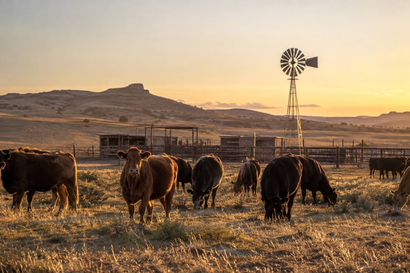
Stop 01
Grazing country, working pens and the water that carries it. We map the pasture, the improvements and the access points before the tract ever goes to market.
Request tract details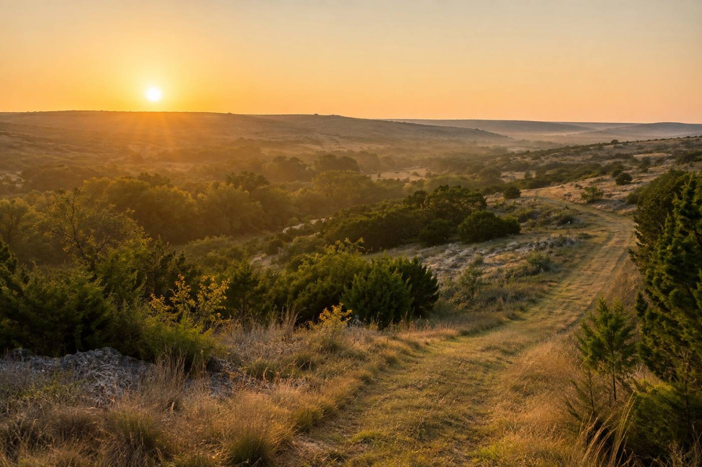
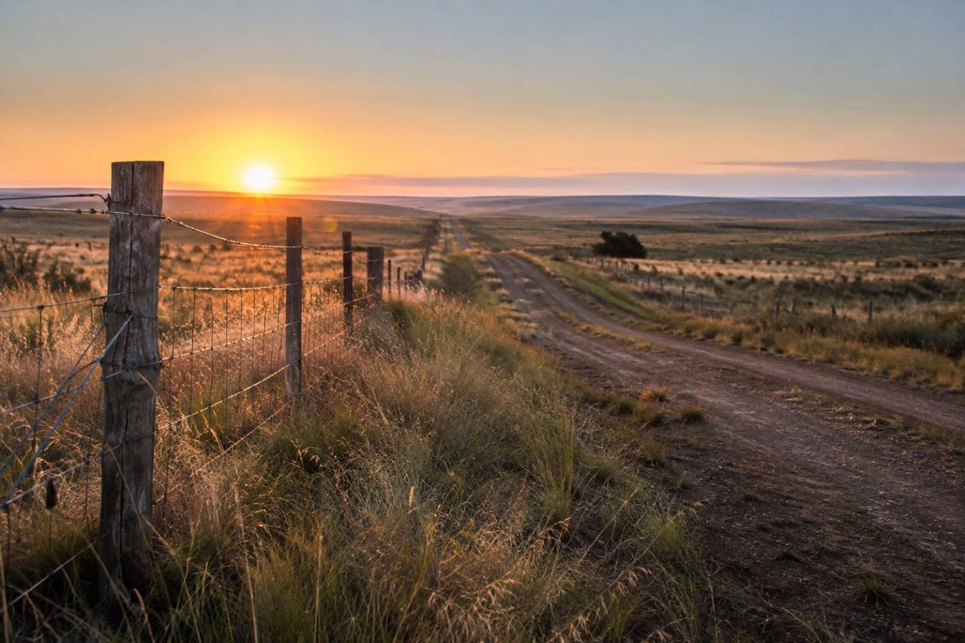
Stop 02
Cover, creek bottom and the neighbors that shape the hunt. Listing packets carry boundary lines, entry points and surrounding land use, so a buyer knows exactly what they are stepping into.
Request tract details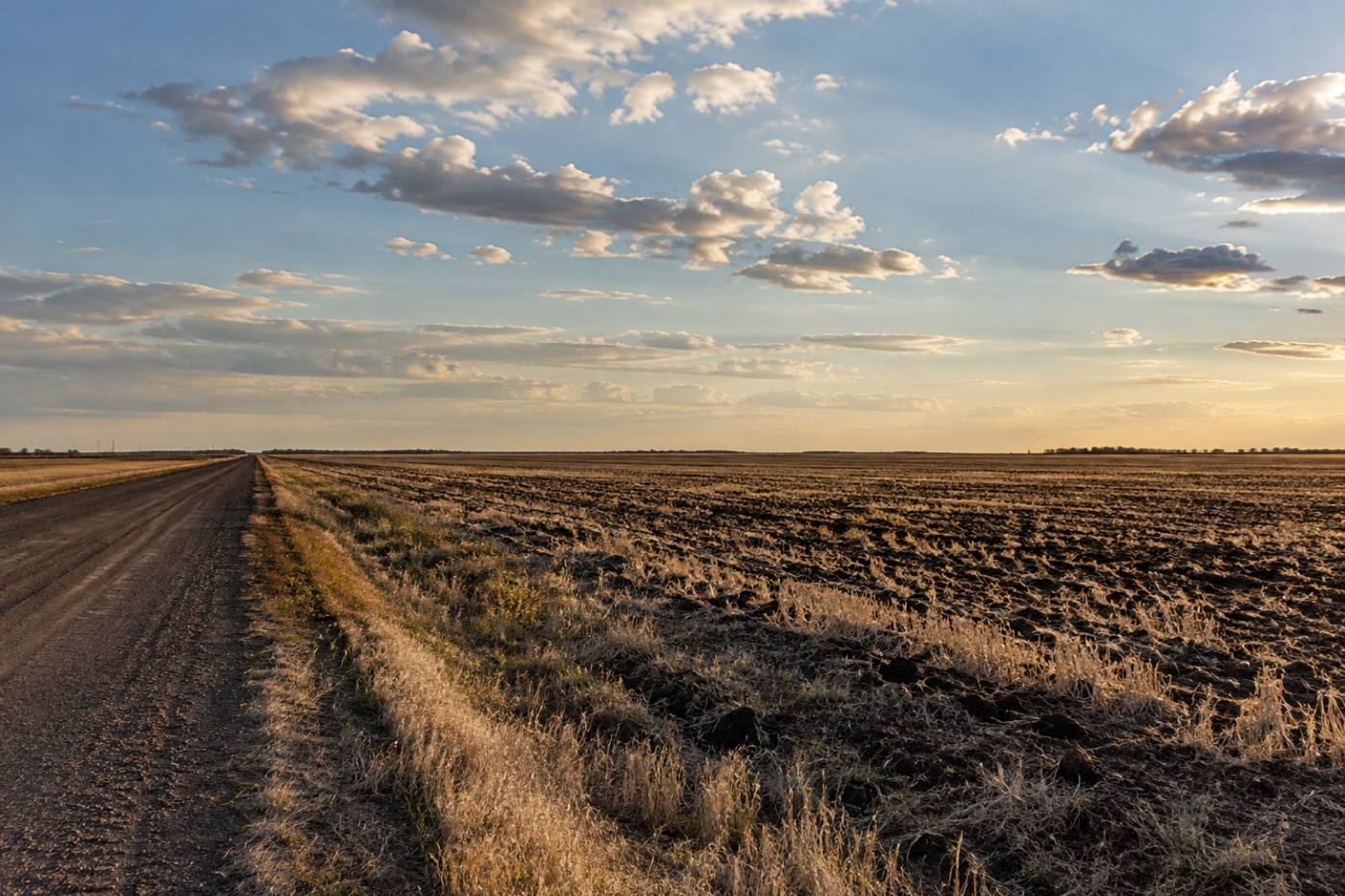
Stop 03
Open fields, soils and rotation history, plus the county road frontage that gets equipment in and out without crossing anyone else's fence.
Request tract detailsCheckpoints
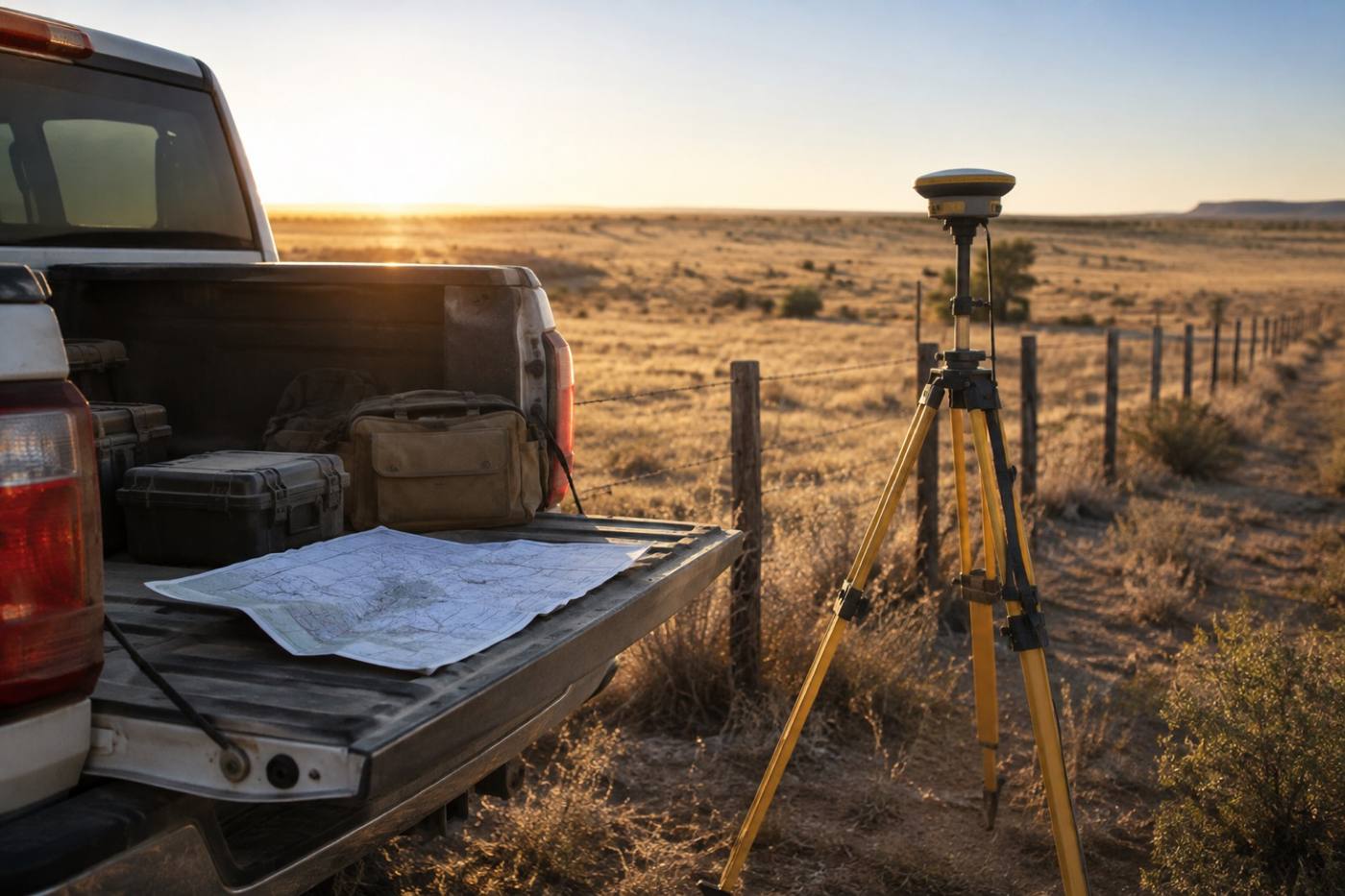
Three reviews sit between a valuation and a closing. Clear them and the route keeps moving — especially when an exchange clock is already running.
Checkpoint 01
We pull the water picture together before the route continues: what runs with the land, what is permitted, and what stays with the seller. Buyers get it in writing, not in conversation.
Checkpoint 02
We line up surveyors and title work so the boundary on the map matches the boundary on the ground — and nothing new appears at the closing table.
Checkpoint 03
Identification windows, deadlines and the next tract, coordinated with your qualified intermediary, so one closing opens the next route instead of ending it.
The route, leg by leg
Four legs, in order. Each one is documented, so a seller, a buyer and their lender are always reading the same map.
Send the tract details. We come back with a value range and a plain read on how land like yours is moving.
Acreage, access, water and boundaries go onto one mapped listing, with the surrounding land use noted.
Water rights, boundary and survey coordination are reviewed and documented before the closing date.
Sellers exchanging into new land get the next tract mapped while the first one is still closing.
Starting point
A valuation request is the first leg. Tell us what you own and where it sits, and we will map it — current use, access, water and boundary notes included — with a clear next step for listing or exchanging.
No obligation, and no pressure to list before you are ready. A valuation request simply puts the tract on the map.
1031 exchange support
Whether you are listing working ranch country or lining up the next tract inside an exchange, your plan stays on one map — from the first valuation request through closing and the leg after it.